
Exeter topographic map
Interactive map
Click on the map to display elevation.
About this map
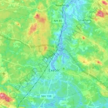
Name: Exeter topographic map, elevation, terrain.
Location: Exeter, Rockingham County, New Hampshire, United States (42.95674 -71.01388 43.03386 -70.88770)
Average elevation: 24 m
Minimum elevation: -10 m
Maximum elevation: 86 m