
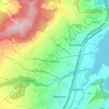
Schoringen topographic map
Interactive map
Click on the map to display elevation.
About this map
Name: Schoringen topographic map, elevation, terrain.
Location: Schoringen, Greyerzbezirk, Freiburg, 1642, Schweiz (46.65970 7.01244 46.68613 7.07747)
Average elevation: 854 m
Minimum elevation: 667 m
Maximum elevation: 1,208 m