
Coon Rapids topographic map
Interactive map
Click on the map to display elevation.
About this map
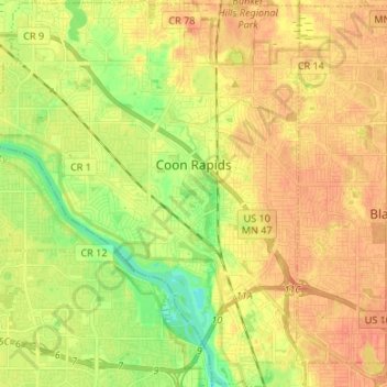
Name: Coon Rapids topographic map, elevation, terrain.
Location: Coon Rapids, Anoka County, Minnesota, États-Unis d'Amérique (45.11871 -93.37356 45.21292 -93.26573)
Average elevation: 268 m
Minimum elevation: 245 m
Maximum elevation: 283 m