
Thank you for supporting this site ❤️
Make a donation
Make a donation
Demircidere topographic map
Click on the map to display elevation.
Thank you for supporting this site ❤️
Make a donation
Make a donation
About this map
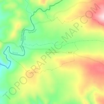
Name: Demircidere topographic map, elevation, terrain.
Location: Demircidere, Bergama, Izmir, Aegean Region, Turkey (39.24464 26.89983 39.28464 26.93983)
Average elevation: 301 m
Minimum elevation: 140 m
Maximum elevation: 492 m
Thank you for supporting this site ❤️
Make a donation
Make a donation