
Melkote Park topographic map
Interactive map
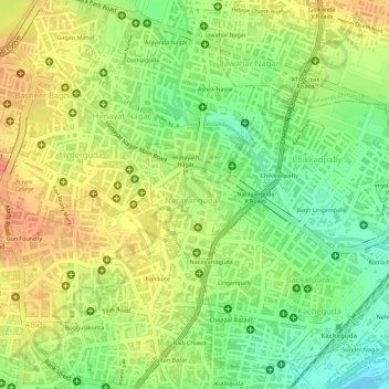
Click on the map to display elevation.
About this map
Name: Melkote Park topographic map, elevation, terrain.
Average elevation: 506 m
Minimum elevation: 479 m
Maximum elevation: 525 m
Other topographic maps
Click on a map to view its topography, its elevation and its terrain.
Ward 80 Kachiguda
India > Telangana > Himayatnagar mandal > Hyderabad
Ward 80 Kachiguda, Greater Hyderabad Municipal Corporation Central Zone, Hyderabad, Himayatnagar mandal, Hyderabad District, Telangana, 500027, India
Average elevation: 498 m