
Niser topographic map
Interactive map
Click on the map to display elevation.
About this map
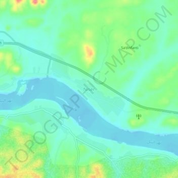
Name: Niser topographic map, elevation, terrain.
Location: Niser, Northern State, Sudan (20.33730 30.48689 20.37730 30.52689)
Average elevation: 216 m
Minimum elevation: 195 m
Maximum elevation: 270 m