
Thank you for supporting this site ❤️
Make a donation
Make a donation
Stalden (VS) topographic map
Click on the map to display elevation.
Thank you for supporting this site ❤️
Make a donation
Make a donation
About this map
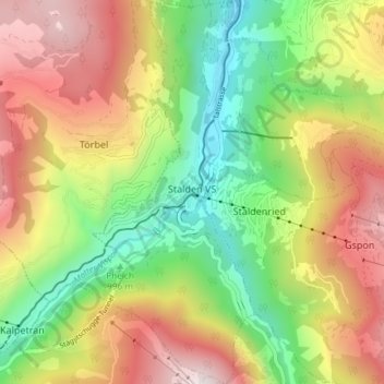
Name: Stalden (VS) topographic map, elevation, terrain.
Location: Stalden (VS), Visp, Wallis, 3922, Switzerland (46.20651 7.84752 46.25767 7.91757)
Average elevation: 1,369 m
Minimum elevation: 673 m
Maximum elevation: 2,211 m
Thank you for supporting this site ❤️
Make a donation
Make a donation