
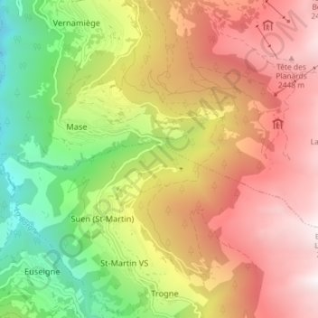
La Manna topographic map
Interactive map
Click on the map to display elevation.
About this map
Name: La Manna topographic map, elevation, terrain.
Location: La Manna, Mont-Noble, Hérens, Valais/Wallis, 1973, Switzerland (46.18696 7.41398 46.19232 7.48587)
Average elevation: 1,645 m
Minimum elevation: 589 m
Maximum elevation: 2,674 m
Other topographic maps
Click on a map to view its topography, its elevation and its terrain.
La Manna
Switzerland > Valais/Wallis > Mont-Noble
La Manna, Mont-Noble, Hérens, Valais/Wallis, 1973, Switzerland
Average elevation: 1,232 m