
la Vajol topographic map
Interactive map
Click on the map to display elevation.
About this map
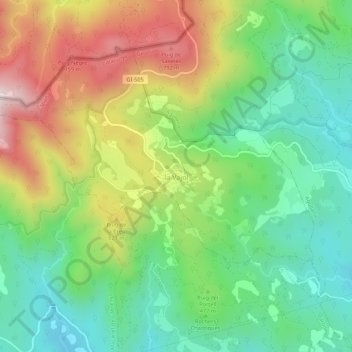
Name: la Vajol topographic map, elevation, terrain.
Location: la Vajol, Haut-Ampurdan, Gérone, Catalogne, 17707, Espagne (42.38391 2.78009 42.42391 2.82009)
Average elevation: 472 m
Minimum elevation: 230 m
Maximum elevation: 865 m