
Thank you for supporting this site ❤️
Make a donation
Make a donation
Try topographic map
Click on the map to display elevation.
Thank you for supporting this site ❤️
Make a donation
Make a donation
About this map
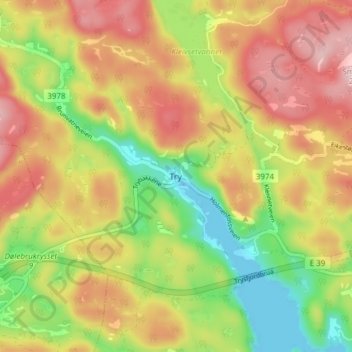
Name: Try topographic map, elevation, terrain.
Location: Try, Kristiansand, Agder, Norway (58.08488 7.64117 58.12488 7.68117)
Average elevation: 117 m
Minimum elevation: -1 m
Maximum elevation: 230 m
Thank you for supporting this site ❤️
Make a donation
Make a donation