
Pothur topographic map
Click on the map to display elevation.
About this map
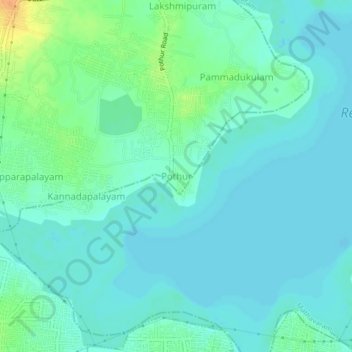
Name: Pothur topographic map, elevation, terrain.
Location: Pothur, Ambattur, Thiruvallur, Tamil Nadu, 600062, India (13.13764 80.13583 13.17764 80.17583)
Average elevation: 16 m
Minimum elevation: 8 m
Maximum elevation: 43 m
Other topographic maps
Click on a map to view its topography, its elevation and its terrain.