
Hundwil topographic map
Interactive map
Click on the map to display elevation.
About this map
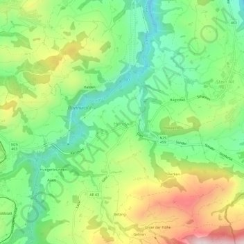
Name: Hundwil topographic map, elevation, terrain.
Location: Hundwil, Hinterland, Appenzell Ausserrhoden, 9064, Schweiz (47.34592 9.29818 47.38592 9.33818)
Average elevation: 831 m
Minimum elevation: 638 m
Maximum elevation: 1,135 m