
Thank you for supporting this site ❤️
Make a donation
Make a donation
Redi topographic map
Click on the map to display elevation.
Thank you for supporting this site ❤️
Make a donation
Make a donation
About this map
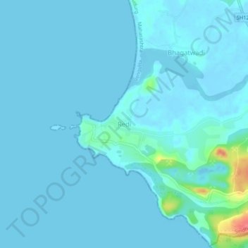
Name: Redi topographic map, elevation, terrain.
Location: Redi, Vengurla, Sindhudurg, Maharashtra, 416517, India (15.72670 73.64136 15.76670 73.68136)
Average elevation: 5 m
Minimum elevation: -3 m
Maximum elevation: 70 m
Thank you for supporting this site ❤️
Make a donation
Make a donation