
Grundlsee topographic map
Interactive map
Click on the map to display elevation.
About this map
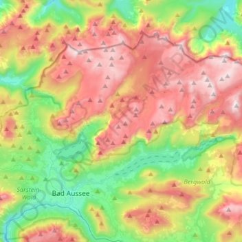
Name: Grundlsee topographic map, elevation, terrain.
Location: Grundlsee, Bezirk Liezen, Stiermarken, 8993, Oostenrijk (47.60658 13.79339 47.71765 14.05543)
Average elevation: 1,240 m
Minimum elevation: 556 m
Maximum elevation: 2,109 m
Other topographic maps
Click on a map to view its topography, its elevation and its terrain.
Ressen
Oostenrijk > Stiermarken > Bezirk Liezen > Grundlsee
Ressen, Grundlsee, Bezirk Liezen, Stiermarken, 8993, Oostenrijk
Average elevation: 985 m