
Qasr el Sagha topographic map
Interactive map
Click on the map to display elevation.
About this map
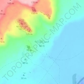
Name: Qasr el Sagha topographic map, elevation, terrain.
Location: Qasr el Sagha, Faiyum Governorate, Egypt (29.59504 30.67775 29.59516 30.67797)
Average elevation: 40 m
Minimum elevation: -38 m
Maximum elevation: 169 m