
Pangari topographic map
Click on the map to display elevation.
About this map
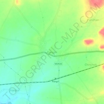
Name: Pangari topographic map, elevation, terrain.
Location: Pangari, Barshi, Solapur, Maharashtra, 413404, India (18.27420 75.84573 18.31420 75.88573)
Average elevation: 562 m
Minimum elevation: 536 m
Maximum elevation: 604 m