
Thank you for supporting this site ❤️
Make a donation
Make a donation
Rohat topographic map
Click on the map to display elevation.
Thank you for supporting this site ❤️
Make a donation
Make a donation
About this map
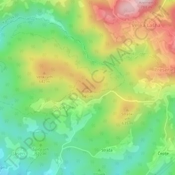
Name: Rohat topographic map, elevation, terrain.
Location: Rohat, Lukovica, Upravna Enota Domžale, 1225, Slovenia (46.19388 14.67815 46.19398 14.67825)
Average elevation: 536 m
Minimum elevation: 379 m
Maximum elevation: 761 m
Thank you for supporting this site ❤️
Make a donation
Make a donation