
Well topographic map
Interactive map
Click on the map to display elevation.
About this map
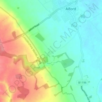
Name: Well topographic map, elevation, terrain.
Location: Well, East Lindsey, Lincolnshire, Engeland, Verenigd Koninkrijk (53.23039 0.13476 53.25712 0.19683)
Average elevation: 34 m
Minimum elevation: 3 m
Maximum elevation: 93 m
Other topographic maps
Click on a map to view its topography, its elevation and its terrain.
Orby
Verenigd Koninkrijk > Engeland > Lincolnshire > East Lindsey
Orby, East Lindsey, Lincolnshire, Engeland, Verenigd Koninkrijk
Average elevation: 6 m