
Arthur R. Marshall Loxahatchee National Wildlife Refuge topographic map
Interactive map
Click on the map to display elevation.
About this map
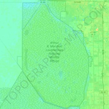
Name: Arthur R. Marshall Loxahatchee National Wildlife Refuge topographic map, elevation, terrain.
Average elevation: 6 m
Minimum elevation: 0 m
Maximum elevation: 23 m