
Agali topographic map
Interactive map
Click on the map to display elevation.
About this map
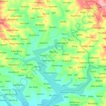
Name: Agali topographic map, elevation, terrain.
Location: Agali, Erute, Apac, Northern Region, Uganda (2.06767 32.95023 2.19688 33.13491)
Average elevation: 1,073 m
Minimum elevation: 1,039 m
Maximum elevation: 1,149 m