
Sanju topographic map
Interactive map
Click on the map to display elevation.
About this map
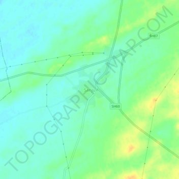
Name: Sanju topographic map, elevation, terrain.
Location: Sanju, Degana Tehsil, Nagaur District, Rajasthan, Indien (26.98815 74.14374 27.02815 74.18374)
Average elevation: 324 m
Minimum elevation: 314 m
Maximum elevation: 340 m