
Thank you for supporting this site ❤️
Make a donation
Make a donation
Grahn topographic map
Click on the map to display elevation.
Thank you for supporting this site ❤️
Make a donation
Make a donation
About this map
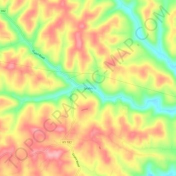
Name: Grahn topographic map, elevation, terrain.
Location: Grahn, Carter County, Kentucky, 41142, United States (38.26369 -83.09517 38.30369 -83.05517)
Average elevation: 266 m
Minimum elevation: 195 m
Maximum elevation: 319 m
Thank you for supporting this site ❤️
Make a donation
Make a donation
Other topographic maps
Click on a map to view its topography, its elevation and its terrain.