
Franière topographic map
Interactive map
Click on the map to display elevation.
About this map
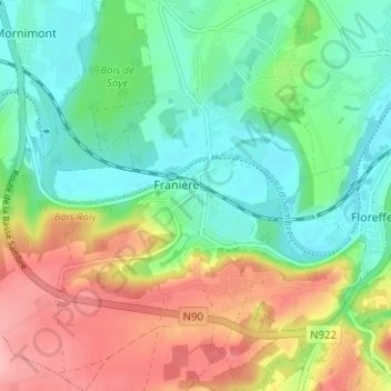
Name: Franière topographic map, elevation, terrain.
Location: Franière, Namur, Wallonien, 5150, Belgien (50.41891 4.71179 50.45891 4.75179)
Average elevation: 130 m
Minimum elevation: 80 m
Maximum elevation: 214 m