
Mauthen topographic map
Interactive map
Click on the map to display elevation.
About this map
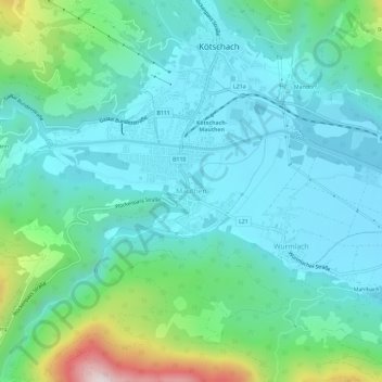
Name: Mauthen topographic map, elevation, terrain.
Average elevation: 839 m
Minimum elevation: 674 m
Maximum elevation: 1,476 m
Other topographic maps
Click on a map to view its topography, its elevation and its terrain.
Kötschach
Oostenrijk > Karinthië > Bezirk Hermagor > Kötschach-Mauthen
Kötschach, Kötschach-Mauthen, Bezirk Hermagor, Karinthië, 9640, Oostenrijk
Average elevation: 1,109 m