
21a topographic map
Interactive map
Click on the map to display elevation.
About this map
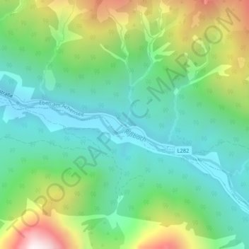
Name: 21a topographic map, elevation, terrain.
Average elevation: 1,269 m
Minimum elevation: 957 m
Maximum elevation: 1,968 m
Other topographic maps
Click on a map to view its topography, its elevation and its terrain.
Achensee
Österreich > Tirol > Bezirk Schwaz > Eben am Achensee > Pertisau
Achensee, Pertisau, Eben am Achensee, Bezirk Schwaz, Tirol, Österreich
Average elevation: 1,340 m