
Eggerstanden topographic map
Interactive map
Click on the map to display elevation.
About this map
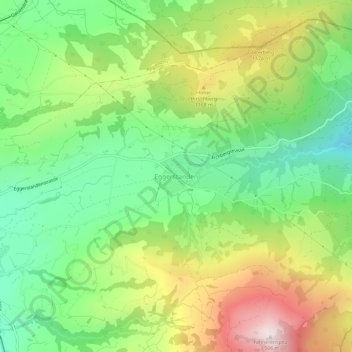
Name: Eggerstanden topographic map, elevation, terrain.
Location: Eggerstanden, Appenzell Innerrhoden, 9056, Schweiz (47.31245 9.44499 47.35245 9.48499)
Average elevation: 1,006 m
Minimum elevation: 689 m
Maximum elevation: 1,490 m