
Arancés topographic map
Interactive map
Click on the map to display elevation.
About this map
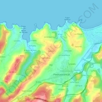
Name: Arancés topographic map, elevation, terrain.
Location: Arancés, Piedrasblancas, Castrillón, Asturies, 33459, Espagne (43.54872 -6.00329 43.58872 -5.96329)
Average elevation: 37 m
Minimum elevation: -1 m
Maximum elevation: 122 m