
Stachen topographic map
Interactive map
Click on the map to display elevation.
About this map
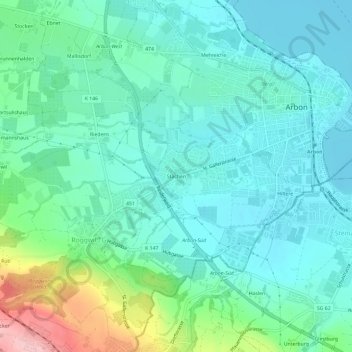
Name: Stachen topographic map, elevation, terrain.
Location: Stachen, Arbon, Bezirk Arbon, Thurgau, 9320, Schweiz (47.48705 9.39018 47.52705 9.43018)
Average elevation: 432 m
Minimum elevation: 391 m
Maximum elevation: 577 m