
Yula topographic map
Interactive map
Click on the map to display elevation.
About this map
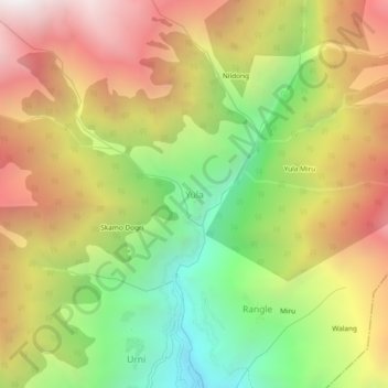
Name: Yula topographic map, elevation, terrain.
Location: Yula, Nichar, Kinnaur District, Himachal Pradesh, India (31.52743 78.11700 31.56743 78.15700)
Average elevation: 2,943 m
Minimum elevation: 1,937 m
Maximum elevation: 3,975 m