
Jaleswar topographic map
Interactive map
Click on the map to display elevation.
About this map
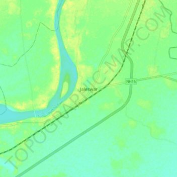
Name: Jaleswar topographic map, elevation, terrain.
Location: Jaleswar, Bāleshwar, Baleshwar, Odisha, 756032, India (21.76421 87.18454 21.84421 87.26454)
Average elevation: 13 m
Minimum elevation: 5 m
Maximum elevation: 24 m