
malegaon topographic map
Interactive map
Click on the map to display elevation.
About this map
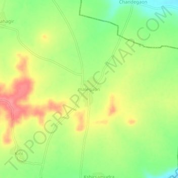
Name: malegaon topographic map, elevation, terrain.
Location: malegaon, Deglur, Nanded, Maharashtra, India (18.39160 77.51085 18.43160 77.55085)
Average elevation: 440 m
Minimum elevation: 400 m
Maximum elevation: 481 m