
Huila topographic map
Interactive map
Click on the map to display elevation.
About this map
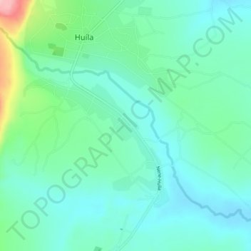
Name: Huila topographic map, elevation, terrain.
Location: Huila, Huíla, Angola (-15.08604 13.53127 -15.04604 13.57127)
Average elevation: 1,726 m
Minimum elevation: 1,689 m
Maximum elevation: 1,856 m