
洋河镇 topographic map
Interactive map
Click on the map to display elevation.
About this map
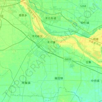
Name: 洋河镇 topographic map, elevation, terrain.
Location: 洋河镇, 宿城区, 宿迁市, 江苏省, 中国 (33.70349 118.30309 33.82145 118.57397)
Average elevation: 19 m
Minimum elevation: 13 m
Maximum elevation: 30 m
Other topographic maps
Click on a map to view its topography, its elevation and its terrain.