
Thank you for supporting this site ❤️
Make a donation
Make a donation
Old Manali topographic map
Click on the map to display elevation.
Thank you for supporting this site ❤️
Make a donation
Make a donation
About this map
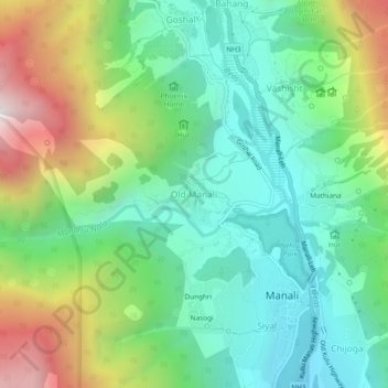
Name: Old Manali topographic map, elevation, terrain.
Location: Old Manali, Manali, Kullu, Himachal Pradesh, 175131, India (32.23593 77.15653 32.27593 77.19653)
Average elevation: 2,290 m
Minimum elevation: 1,845 m
Maximum elevation: 3,213 m
Thank you for supporting this site ❤️
Make a donation
Make a donation