
Agaram topographic map
Interactive map
Click on the map to display elevation.
About this map
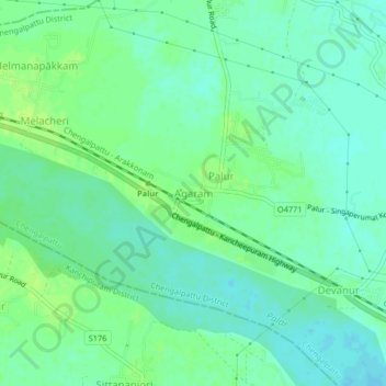
Name: Agaram topographic map, elevation, terrain.
Location: Agaram, Chengalpattu, Chengalpattu District, Tamil Nadu, India (12.74533 79.89178 12.78533 79.93178)
Average elevation: 45 m
Minimum elevation: 38 m
Maximum elevation: 52 m
Other topographic maps
Click on a map to view its topography, its elevation and its terrain.