
Thank you for supporting this site ❤️
Make a donation
Make a donation
Coalford topographic map
Click on the map to display elevation.
Thank you for supporting this site ❤️
Make a donation
Make a donation
About this map
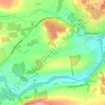
Name: Coalford topographic map, elevation, terrain.
Location: Coalford, Aberdeenshire, Scotland, AB31 5AR, United Kingdom (57.06879 -2.31479 57.10879 -2.27479)
Average elevation: 56 m
Minimum elevation: 11 m
Maximum elevation: 136 m
Thank you for supporting this site ❤️
Make a donation
Make a donation
Other topographic maps
Click on a map to view its topography, its elevation and its terrain.