
Athoor topographic map
Interactive map
Click on the map to display elevation.
About this map
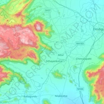
Name: Athoor topographic map, elevation, terrain.
Location: Athoor, Dindigul District, Tamil Nadu, India (10.20029 77.65853 10.39277 77.97549)
Average elevation: 469 m
Minimum elevation: 205 m
Maximum elevation: 1,558 m
Other topographic maps
Click on a map to view its topography, its elevation and its terrain.