
Chase County topographic map
Interactive map
Click on the map to display elevation.
About this map
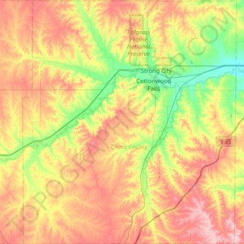
Name: Chase County topographic map, elevation, terrain.
Location: Chase County, Kansas, Vereinigte Staaten von Amerika (38.08573 -96.84251 38.52247 -96.35378)
Average elevation: 418 m
Minimum elevation: 346 m
Maximum elevation: 508 m