
Thimister-Clermont topographic map
Interactive map
Click on the map to display elevation.
About this map
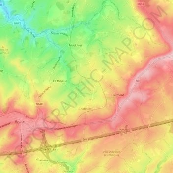
Name: Thimister-Clermont topographic map, elevation, terrain.
Location: Thimister-Clermont, Verviers, Lüttich, Wallonien, 4890, Belgien (50.62647 5.82504 50.69826 5.91881)
Average elevation: 261 m
Minimum elevation: 147 m
Maximum elevation: 354 m