
Kensington topographic map
Interactive map
Click on the map to display elevation.
About this map
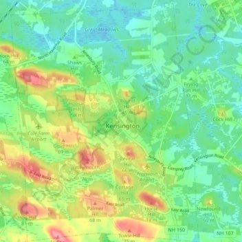
Name: Kensington topographic map, elevation, terrain.
Location: Kensington, Rockingham County, New Hampshire, United States (42.89845 -70.98262 42.96054 -70.91660)
Average elevation: 32 m
Minimum elevation: -1 m
Maximum elevation: 93 m