
Camisea topographic map
Interactive map
Click on the map to display elevation.
About this map
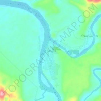
Name: Camisea topographic map, elevation, terrain.
Location: Camisea, Megantoni, La Convención, Cusco, Perú (-11.73753 -72.96510 -11.69753 -72.92510)
Average elevation: 374 m
Minimum elevation: 339 m
Maximum elevation: 499 m