
Thank you for supporting this site ❤️
Make a donation
Make a donation
bhutsi topographic map
Click on the map to display elevation.
Thank you for supporting this site ❤️
Make a donation
Make a donation
About this map
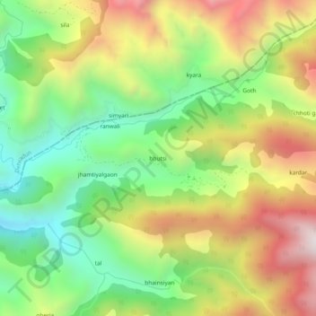
Name: bhutsi topographic map, elevation, terrain.
Location: bhutsi, Dhanaulti, Tehri Garhwal, Uttarakhand, India (30.37533 78.19119 30.41533 78.23119)
Average elevation: 1,511 m
Minimum elevation: 1,036 m
Maximum elevation: 2,124 m
Thank you for supporting this site ❤️
Make a donation
Make a donation