
Ananthapuram topographic map
Interactive map
Click on the map to display elevation.
About this map
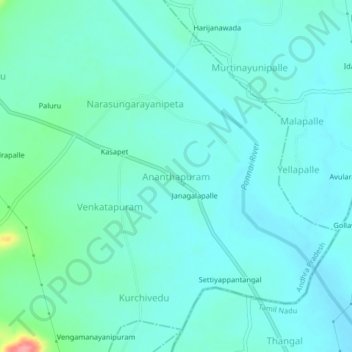
Name: Ananthapuram topographic map, elevation, terrain.
Location: Ananthapuram, Chittoor, Andhra Pradesh, India (13.14732 79.19285 13.18732 79.23285)
Average elevation: 256 m
Minimum elevation: 239 m
Maximum elevation: 338 m