
Coria topographic map
Interactive map
Click on the map to display elevation.
About this map
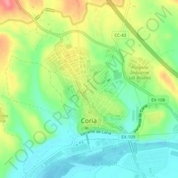
Name: Coria topographic map, elevation, terrain.
Location: Coria, Cáceres, Extremadura, 10800, Spain (39.98101 -6.54548 39.99488 -6.52953)
Average elevation: 256 m
Minimum elevation: 217 m
Maximum elevation: 319 m