
Tarikere topographic map
Interactive map
Click on the map to display elevation.
About this map
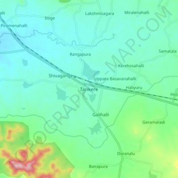
Name: Tarikere topographic map, elevation, terrain.
Average elevation: 699 m
Minimum elevation: 647 m
Maximum elevation: 896 m
Tarikere is located at 13°43′N 75°49′E / 13.72°N 75.82°E / 13.72; 75.82. It has an average elevation of 698 metres (2290 feet).