
Thank you for supporting this site ❤️
Make a donation
Make a donation
West End topographic map
Click on the map to display elevation.
Thank you for supporting this site ❤️
Make a donation
Make a donation
About this map
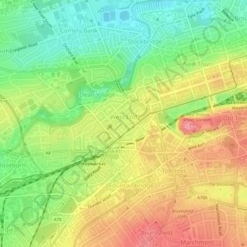
Name: West End topographic map, elevation, terrain.
Location: West End, City of Edinburgh, Scotland, United Kingdom (55.94265 -3.22936 55.95523 -3.20297)
Average elevation: 59 m
Minimum elevation: 11 m
Maximum elevation: 110 m
Thank you for supporting this site ❤️
Make a donation
Make a donation
Other topographic maps
Click on a map to view its topography, its elevation and its terrain.