
Temastián topographic map
Interactive map
Click on the map to display elevation.
About this map
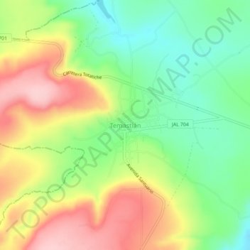
Name: Temastián topographic map, elevation, terrain.
Location: Temastián, Totatiche, Jalisco, 46176, México (21.95735 -103.54614 21.99735 -103.50614)
Average elevation: 1,899 m
Minimum elevation: 1,813 m
Maximum elevation: 2,006 m