
Bekegem topographic map
Interactive map
Click on the map to display elevation.
About this map
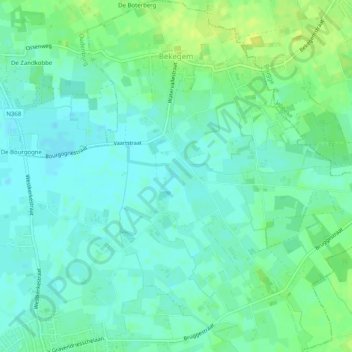
Name: Bekegem topographic map, elevation, terrain.
Location: Bekegem, Ichtegem, Ostende, Westflandern, Flandern, Belgien (51.13322 3.03282 51.16475 3.07857)
Average elevation: 7 m
Minimum elevation: 0 m
Maximum elevation: 18 m
Other topographic maps
Click on a map to view its topography, its elevation and its terrain.
Ostende
Belgien > Westflandern > Ostende
Ostende, Westflandern, Flandern, 8400, Belgien
Average elevation: 1 m