
La Sarine topographic map
Interactive map
Click on the map to display elevation.
About this map
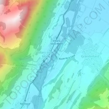
Name: La Sarine topographic map, elevation, terrain.
Location: La Sarine, Langwiler, Greyerzbezirk, Freiburg, 1666, Schweiz (46.53901 7.07222 46.54036 7.07232)
Average elevation: 893 m
Minimum elevation: 713 m
Maximum elevation: 1,560 m