
Betschwanden topographic map
Interactive map
Click on the map to display elevation.
About this map
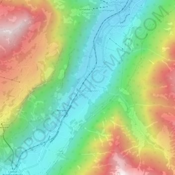
Name: Betschwanden topographic map, elevation, terrain.
Location: Betschwanden, Glarus, 8777, Schweiz (46.92713 9.00737 46.96713 9.04737)
Average elevation: 1,080 m
Minimum elevation: 565 m
Maximum elevation: 1,878 m